This will be SPR’s first offshore windfarm in the region and MachairWind’s offshore turbines will export their green electricity to the grid by a subsea cable, which will connect to a substation at an onshore location on the mainland of south-west Scotland. National Grid, who decide where this connection point will be, is expected to confirm its location in 2023.
Location
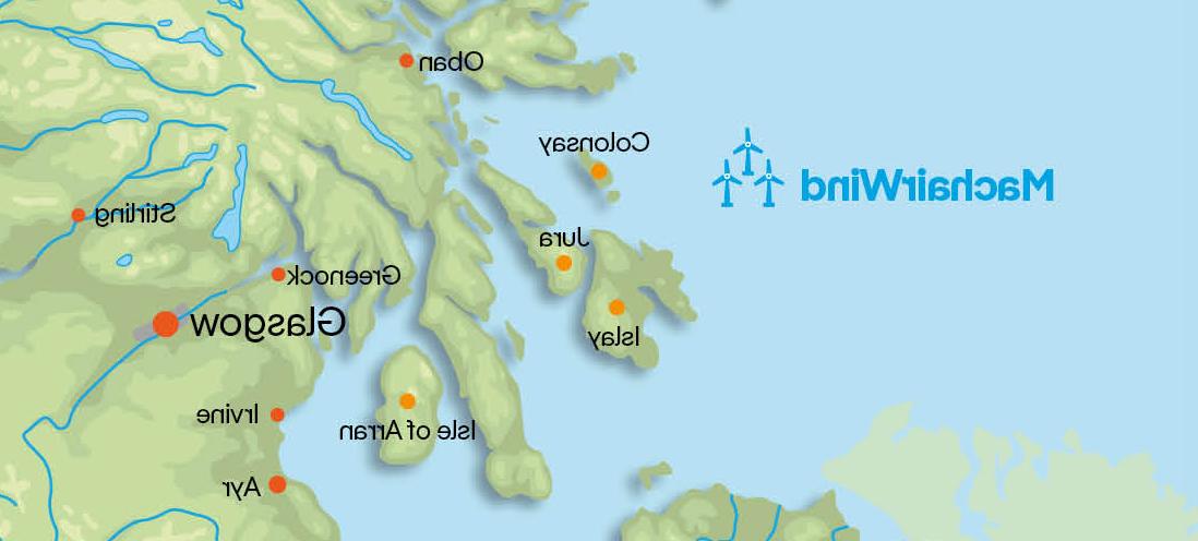
In the coming years we will carry out surveys across the Option Agreement Area, which is depicted by the turbines in the map above. The windfarm itself will only cover part of this area and its exact location will be informed by these forthcoming survey works.
Wind Turbines
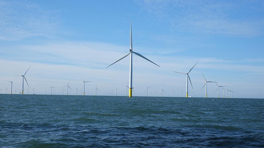
As it is very early days for the project, no decision has been taken yet on the specific type of wind turbine that will be best suited for the conditions in and around our Option Area. The number of turbines we install will depend on the technology we select as part of the future detailed project design. With an average water depth of 55m across the Option Area, we expect to use foundations that are fixed to the seabed for the project, rather than those that are anchored.
Export Route and Grid Connection
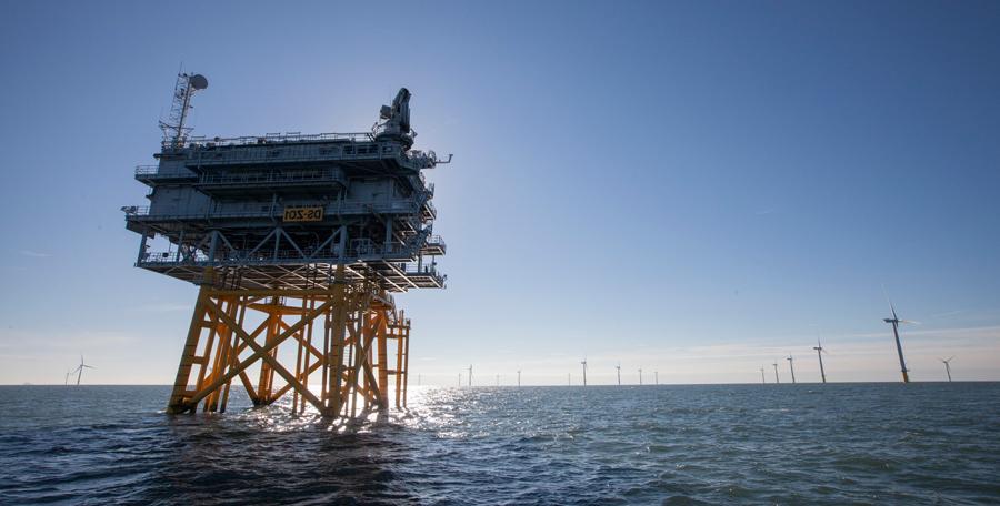 The offshore and onshore cable routes are currently being evaluated and will be identified once technical studies, surveys and appropriate consultations with stakeholders have been carried out. MachairWind’s offshore turbines will export their green electricity to the grid by a subsea cable, that will connect to a substation at an onshore location on the mainland of south-west Scotland. National Grid is the decision-maker that will determine where this connection point will be and is expected to confirm its location in 2023.
Engineering Surveys

Surveys will include:
Metocean & LiDAR Surveys
In April, two metocean buoys, two seabed landers and a floating LiDAR (light detection and ranging) buoy were deployed off the coast of Argyll and these instruments are now gathering data. The equipment will be in place until April 2024, measuring wind speed, air and, sea temperatures, current speeds and wave heights which will allow us to better understand the project environment, as well as provide us with data that will play a key part in our windfarm design. Please visit our news page for more information on the deployment of this equipment.
Ornithology & Wildlife Surveys
Our Offshore Environment Team has also been undertaking surveys to gather data about the flight height of bird species that can be found in and around the MachairWind area. Please visit our Environment page for more information.
Site Investigation Surveys
In summer this year, we are planning to commence geophysical and environmental survey works on the windfarm development area. This will involve gathering data about the ground conditions on the seabed. The intention is that further surveys work of this kind will be undertaken next summer, on both the windfarm development area and export cable corridor, which we hope to have identified by then.